Weathering the storm
Satellite technologies allow us to observe Earth from a unique vantage point and make new observations possible that previous generations could only dream of. As we seek to understand more about how our planet is changing due to climate change, satellites are proving to be a powerful asset by acting as watchful eyes from above.
Natural disasters threaten to destabilise many areas of the world and must be accounted for going forward. In this regard, satellites provide enormous benefits in the form of early detection, mapping and monitoring of extreme geological and weather events.

Initiatives such as the Copernicus Emergency Management Service and the International Disaster Charter utilise satellite technology to assist in all phases of the emergency management cycle such as preparedness, prevention, disaster risk reduction, emergency response, and recovery in order to mitigate damages and save human lives.
The impact of extreme weather events and natural disasters cannot be overstated. Events such as floods, heatwaves, storms, wildfires, cyclones, tornadoes and hurricanes will pose a serious threat to the livelihood and stability of many nations in Europe and around the globe in the coming years. Researchers are currently working on creating official estimates of the risks these events pose going forward.
From 1980-2020, extreme weather events of this magnitude led to 85 000-145 000 human fatalities across Europe and economic losses summing roughly 500 billion euros. In the case of storms and subsequent flooding, there are several impacts to consider. These impacts include damage inflicted to bridges, electrical supplies and agricultural land in the form of sanitation hazards from overflowing sewage and the drowning of livestock.

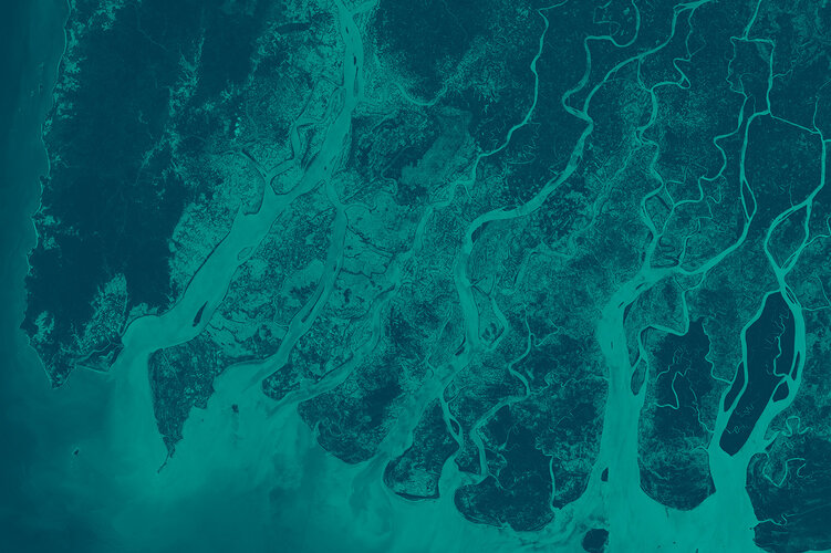
Sanitation hazards in particular can lead to the increased prevalence of diseases such as typhoid and cholera. Since weather satellite imaging is unaffected by cloud cover, it can be used to predict approaching storms, identify at-risk areas, and map out the aftermath of these events.
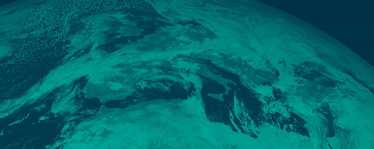
ESA has been building weather satellites for several decades, going all the way back to 1977. The first satellite series, Meteosat, was originally designed to deliver data from geostationary orbit. This satellite series provides important information on continental-scale weather phenomenon for Europe such as thunderstorm fronts and hurricanes. MetOp satellites, which orbit from pole to pole and collect significant data for weather forecasting systems, successfully launched their first unit in 2006.
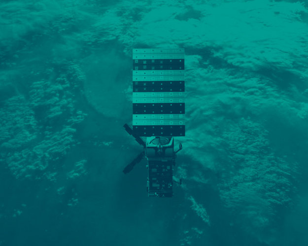
Today, ESA is assembling the Meteosat Third Generation satellites (MTG), built for the purpose of providing better data for weather forecasters. This improved data collection is courtesy of brand new infrared sounding technology, imaging capabilities, and real-time lightning imaging for early detection of severe storms.
This is done via ‘nowcasting’, which refers to the quasi-real-time monitoring and prediction of severe storms as they develop and evolve. When it comes to monitoring and tracking severe storms, a lot of data must be collected and analysed from many different sources, such as satellites, weather radar, wind profilers, lightning detectors, radiosondes and weather models.
The newest MTG satellites will generate up to 50 times more data compared to older generations, at a much faster rate of every two and a half minutes. Because nowcasting is reliant on a wealth of data generated and delivered quickly, we are now more prepared than ever before to track and monitor severe storms as they develop in real time.
MTG, in collaboration with Eumetsat, will provide weather and climate-related satellite data, images and products 24/7, 365 days per year to European national meteorological services and other users worldwide.


Access the video
Back to MTG homepage |