

Six mind-blowing facts about Galileo
Did you know Galileo was born in the Netherlands in the 1990s? Europe’s own global navigation satellite system was developed in ESA’s technological heart, ESTEC, in Noordwijk, almost three decades ago. Since then, it has grown to become one of the most complex and critical infrastructures ever built in Europe, as well as the largest European satellite constellation and ground segment.
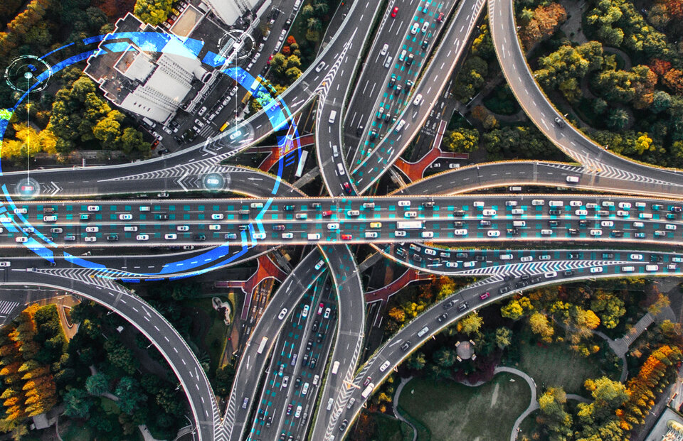
Galileo, Europe’s satellite navigation system, is not only incredibly reliable but also integral to our daily lives, supporting an ever-growing list of fields including agriculture, search and rescue, robotics, autonomous driving of automobiles, trains, ships and drones and even augmented reality gaming, but also simply finding your way via your smartphone. Already impressed? Keep reading to learn more about what makes Galileo exceptional and prepare to be amazed by one of Europe’s greatest achievements.
1. Number one in precision

You might have heard that Galileo is the most accurate satellite navigation system in the world. But what does this mean? The Open Service minimum accuracy it is committed to delivering is two metres, but its real performance is under one metre most times.
For applications that require even more precision, Galileo’s High Accuracy Service guarantees decimetre-scale positioning. Since January 2023, Galileo delivers horizontal accuracy down to 20 cm (roughly a handspan) and 40 cm vertically, becoming the first satellite navigation constellation to offer this precision free of charge on a 24/7 basis over most part of the globe in nominal conditions. This means that with the right receiver, you can pinpoint your location using Galileo satellites, which are over 23 000 kilometres above the Earth’s surface, within the width of an A4 paper sheet.
2. Saving lives: Galileo to the rescue
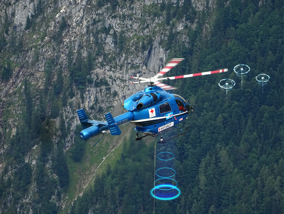
Galileo’s main purpose is to provide exceptional navigation services, but did you know it also contributes to assisting rescue operations and saving lives?
Galileo is automatically activated in most EU countries when one calls 112 from a mobile phone and also helps locating people involved in car accidents across the continent thanks to eCall.
Moreover, Galileo satellites can pick up signals from emergency beacons on ships, planes or carried by people and relay the alert and precise location to national rescue centres. According to the latest performance data, in 2022 Galileo assisted approximately 1400 people within EU territories.
One of Galileo’s unique features is its innovative return link: within a few minutes after a person in distress activates the emergency beacon, Galileo notifies them that the signal has been received, boosting their morale while they wait for assistance.
And Galileo is not standing still: to provide even more life-saving support, a new service will soon allow national civil protection authorities to alert and send instructions to follow during an emergency to a precise population target. The service will use the return link function which can reach any smartphone capable of processing Galileo signals regardless of the mobile network, including in rural regions with poor or no mobile signal.
3. Supporting aviation, from take-off to landing

A recent upgrade to Galileo is changing the game for global aviation. The system is now so reliable that it can be used in safety-of-life civil aviation operations.
Europe’s satellite navigation system can be used alongside GPS during non-critical phases of flight, including parts of the ascent, descent and enroute. Moreover, after this enhancement Galileo is ready to support the new version of EGNOS, Europe’s satellite-based augmentation system, that guides critical stages such as final approach and landing.
4. Ready, set… location fixed
When you open the map application on your smartphone, it can take some seconds until the receiver acquires enough satellite signals to calculate your position. An upgrade to Galileo’s navigation message last year cut in half the so-called ‘time-to-first-fix’ by reducing the amount of information needed for the receiver to generate the first position fix. The message now includes additional redundancy, facilitating the recovery of lost data (blocked by a high building, for example). Having a low ‘time-to-first-fix’ is especially important in emergency response.
5. Tick-tock, ultra-precise atomic clock
Galileo runs on its own time: the Galileo System Time (GST), kept by a set of ultra-precise atomic clocks accurate to the scale of nanoseconds (a billionth of a second) at the Galileo Precise Timing Facilities in Fucino, Italy and Oberpfaffenhofen, Germany. The four atomic clocks onboard each Galileo satellite, although also highly precise, tend to drift due to their physical characteristics, radiation, thermal irregularities and other factors inherent to the challenges of space. That is why every 100 minutes the flying clocks are synchronised to GST.
This level of time-keeping accuracy is required in satellite navigation, where time equals distance and position is calculated based on the time it takes signals to travel from satellites to receivers on the ground. If these clocks were off by just one second, there would be such a positioning error that your smartphone might place you on the Moon!
6. Galileo Second Generation: the best system, even better
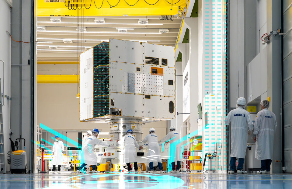
Inspired by the pioneer GPS, almost three decades ago Europe set off to create the third -and best- satellite navigation system in the world. After the success of Galileo in the past decades, the system is gearing up for a brand-new generation packed with innovative technology.
ESA and European industry are developing satellites with fully digital navigation payloads, electric propulsion, a more powerful antenna and more and even better atomic clocks. Galileo Second Generation will provide unprecedented precision, robustness and flexibility with new and improved services, fully compatible with Galileo First Generation and other satellite navigation systems for the best results.
About Galileo
Galileo is currently the world’s most precise satellite navigation system, serving over four billion smartphone users around the globe since entering Open Service in 2017. All smartphones sold in the European Single Market are now guaranteed Galileo-enabled. In addition, Galileo is making a difference across the fields of rail, maritime, agriculture, financial timing services and rescue operations.
A flagship programme of the European Union (EU), Galileo is managed and funded by the European Commission. Since its inception, ESA leads the design, development and qualification of the space and ground systems, as well as procuring launches. ESA is also entrusted with research and development activities for the future of Galileo within the EU programme Horizon Europe. The EU Agency for the Space Programme (EUSPA) acts as the service provider, overseeing the market and application needs and closing the loop with users.
For more info about Galileo: https://www.usegalileo.eu/EN/