
Agency
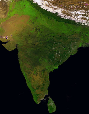
Satellite map of affected Sri Lankan coast
Satellite map of Sri Lanka, lowlands of Galle area, acquired 30 December 2004, utilising digital terrain information to estimate tsunami-damaged areas between 0 and 25 metres. It has a 90m resolution. Source: MNT USGS SRTM (3 arc seconds).


