
Agency
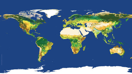
Envisat global land cover map
ESA’s global land cover map was generated using 19 months worth of data, collected between January 2005 and June 2006, from Envisat’s Medium Resolution Imaging Spectrometer (MERIS) instrument. It is the highest resolution land cover map that has been completely validated ever released.
This map may be used freely with mandatory credits going to ESA/ESA GlobCover Project, led by MEDIAS France/Postel.


