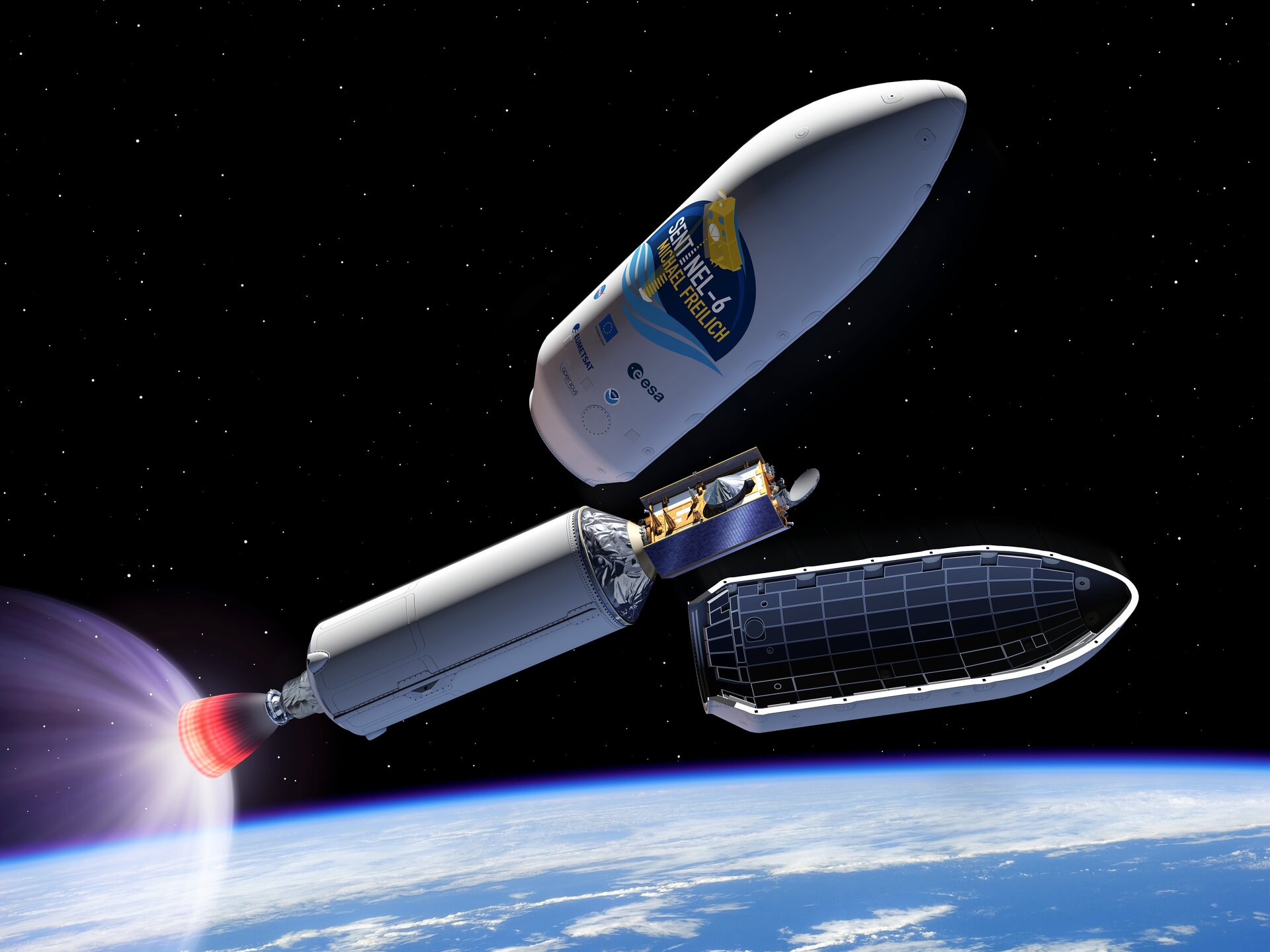
Artist's view of Sentinel-6 during Falcon 9 fairing release
It may not be immediately obvious when we visited the beach this summer, but sea-level rise is affecting coastlines all over the world. Records show that, on average, global sea level has risen around 3.2 mm on average per year, but has been accelerating over the last few years.
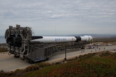
Measurements of the height of the sea surface are essential to monitor this trend, and the upcoming Copernicus Sentinel-6 Michael Freilich satellite will be ready to do just this. The satellite is scheduled to launch on 10 November 2020 from Vandenberg Air Force Base in California.
This new satellite, which will map up to 95% of Earth’s oceans every 10 days, will assume the role as a reference mission to provide crucial data for the long-term record of sea-surface height measurements.
These measurements are not only essential for monitoring our rising seas, but also for climate prediction, coastal management and environmental protection.
ESA is jointly developing the mission with its partners NASA, the European Commission, EUMETSAT and NOAA, with support from CNES.