
Space laboratory sees snowy Svalbard
Thank you for liking
You have already liked this page, you can only like it once!
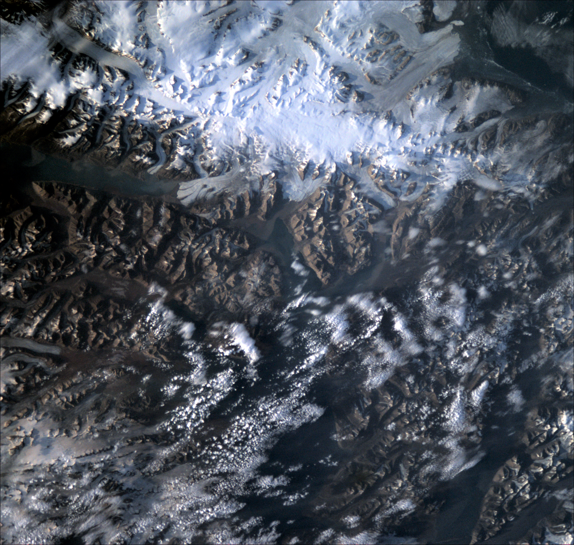
This rugged, remote terrain is one of the world's northernmost inhabited regions. A Norwegian archipelago in the Arctic Ocean, part way between Norway and the North Pole, Svalbard is made up of glaciers and frozen tundra.
This photo was captured by OPS-SAT, ESA’s space laboratory, as it underwent commissioning of its high-definition camera on 26 July 2020. At an altitude of more than 500 km, the small spacecraft managed to capture the beautiful detail of this unique region, including the long, horizontal body of water at the top-left of the image, the notorious 32 km long Austfjorden fjord of Svalbard.
A flying laboratory, OPS-SAT is the very first of its kind. With an experimental computer ten times more powerful than any current ESA spacecraft, the 30-cm high cubesat is devoted to demonstrating drastically improved mission control capabilities that will arise when satellites can fly more powerful on-board computers. Find out more about the mission, and how you could apply to use it to test out your experiment in space.
-
CREDIT
ESA -
LICENCE
ESA Standard Licence

