Bringing satellite data to farmers
ESA and BayWa AG are joining forces in an effort to advance the use of satellite data in farming.
The collaboration aims to optimise the use of satellite data in farming and to assess the benefit to farmers with the overall aim of improving farming practices, water resource efficiency and crop yield.
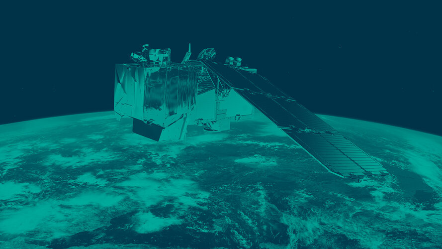
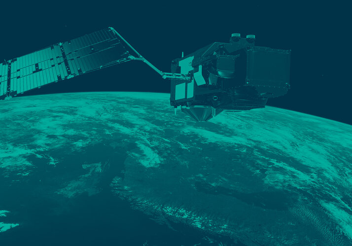
ESA will provide technical expertise about how to access and interpret data from satellites such as the fleet of Sentinels for Europe’s Copernicus programme. In particular, Sentinel-2 is providing images that can distinguish between different crop types and be used to monitor plant growth.
BayWa’s subsidiary FarmFacts, which specialises in digital services for farming, will provide feedback on the usefulness and validity of the data.
“Through the collaboration with ESA we get access to state-of-the-art technology for FarmFacts,” said Klaus Josef Lutz, BayWa Chief Executive Officer.
“As an agri-trading group, we are glad that we are able to help farms of all sizes to benefit from this technology.”
Josef Aschbacher, Director of ESA’s Earth Observation Programmes, added, “The swift integration of data from the Copernicus Sentinel fleet into agronomic models is a prerequisite for forecasting crop yields and other food supply issues.
“BayWa is an ideal partner for ESA to validate and improve our satellite-based models and products in this respect.”
The agreement also foresees BayWa’s participation in next year’s Copernicus Masters Prize competition through a dedicated farming/agriculture challenge to help raise awareness of satellite data in farming.


 Germany
 Austria
 Belgium
 Denmark
 Spain
Spain
 Estonia
 Finland
 France
 Greece
 Hungary
 Ireland
 Italy
Italy
 Luxembourg
 Norway
 The Netherlands
 Poland
 Portugal
 Czechia
 Romania
 United Kingdom
 Slovenia
 Sweden
 Switzerland


