Germany
 Austria
 Belgium
 Denmark
 Spain
Spain
 Estonia
 Finland
 France
 Greece
 Hungary
 Ireland
 Italy
Italy
 Luxembourg
 Norway
 The Netherlands
 Poland
 Portugal
 Czechia
 Romania
 United Kingdom
 Slovenia
 Sweden
 Switzerland


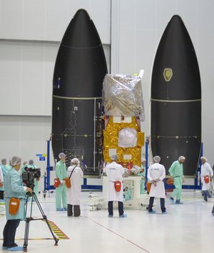
Sentinel-2A sealed from view
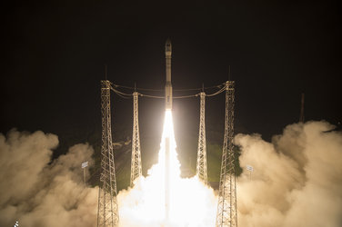
As preparations for the launch of Sentinel-2A continue on track, the team at Europe’s Spaceport in Kourou, French Guiana has said farewell to the satellite as it was sealed from view in the Vega rocket fairing. Liftoff is set for 23 June at 01:52 GMT (03:52 CEST; 22:52 local time on 22 June).
Since its arrival at the launch site at the end of April, Sentinel-2A has been through a series of stringent tests to confirm there was no damage during the flight from Germany.
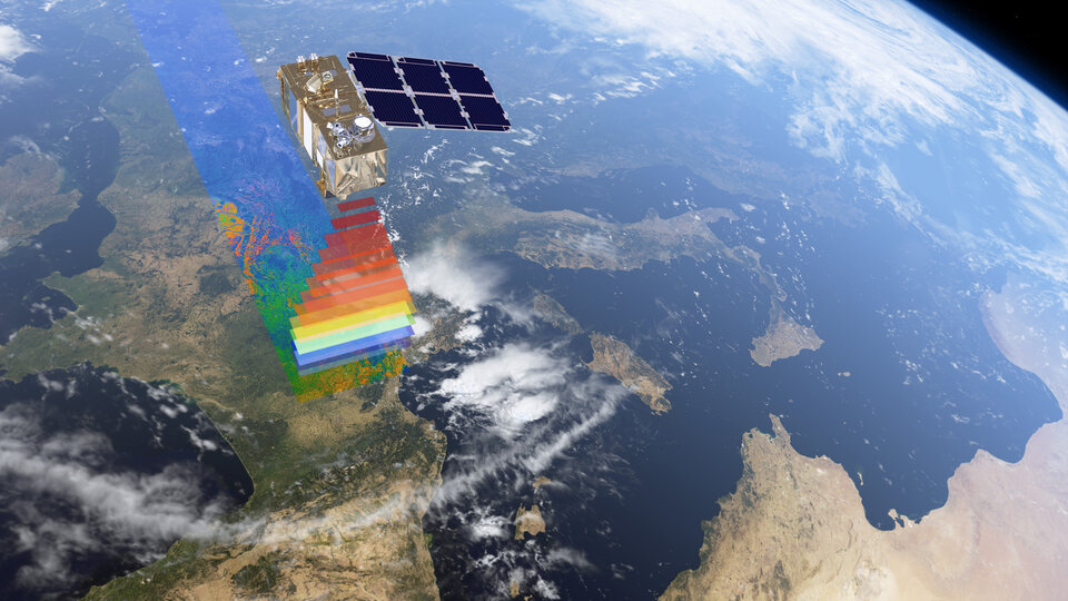
These tests have made sure that everything is in good working order so that this new satellite will deliver the images to monitor Earth’s vegetation and changing lands.
The delicate and risky task of fuelling the satellite took place last week, after which it was joined to the Vega adapter.
The protective covers, called ‘red tag items’, were then removed before it was encapsulated in the rocket fairing, which protects the satellite during the first part of the launch. The next step will be to transfer the ‘payload assembly composite’ to the launcher.

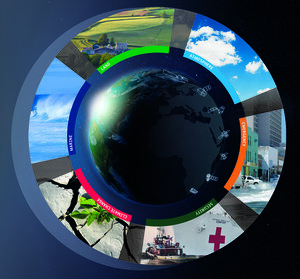
The Sentinel-2 mission is dedicated to Europe’s Copernicus environmental monitoring programme.
Once operational, this new satellite will provide information for agriculture and forestry and for helping to manage food security. Satellite images will be used to determine various plant features such as leaf chlorophyll and water content.
This is particularly important for effectively predicting crop yields and other vegetation applications.


Access the video
As well as monitoring plant growth, Sentinel-2 will be used to map changes in land cover and to monitor the world’s forests.
It will also provide information on pollution in lakes and coastal waters. Images of floods, volcanic eruptions and landslides will contribute to disaster mapping and helping humanitarian relief efforts.