An oblique look on the north lunar far west
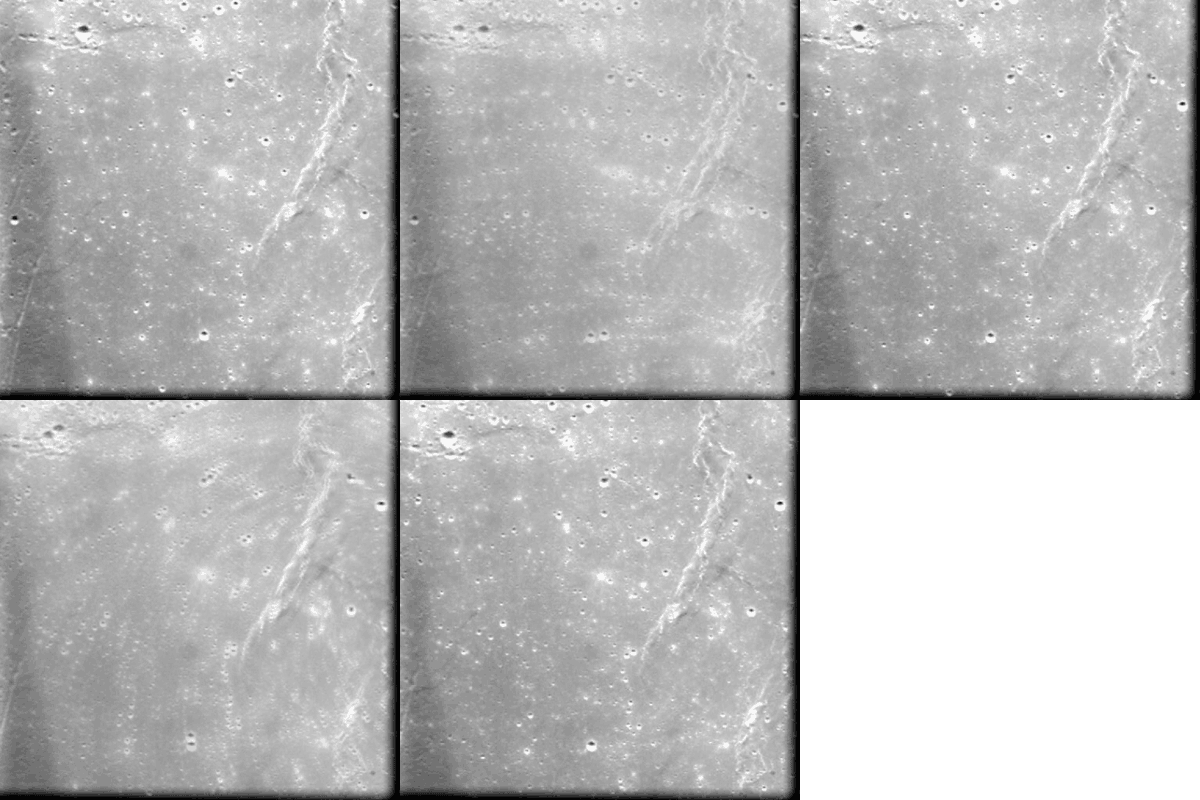
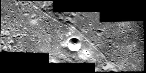
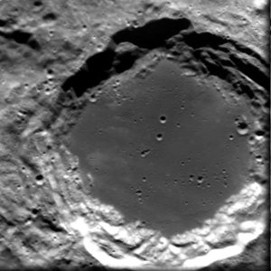
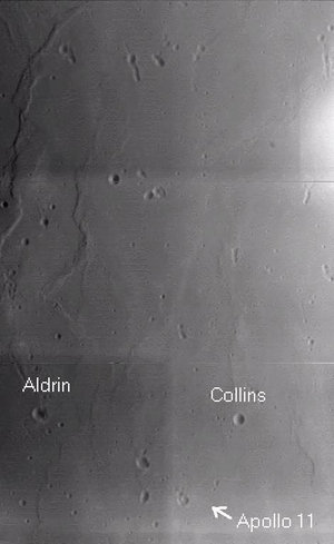
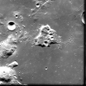
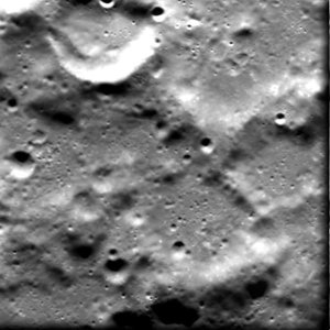
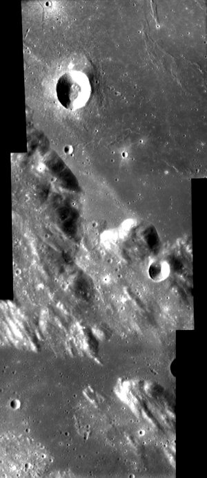
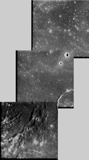
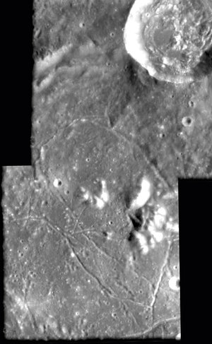
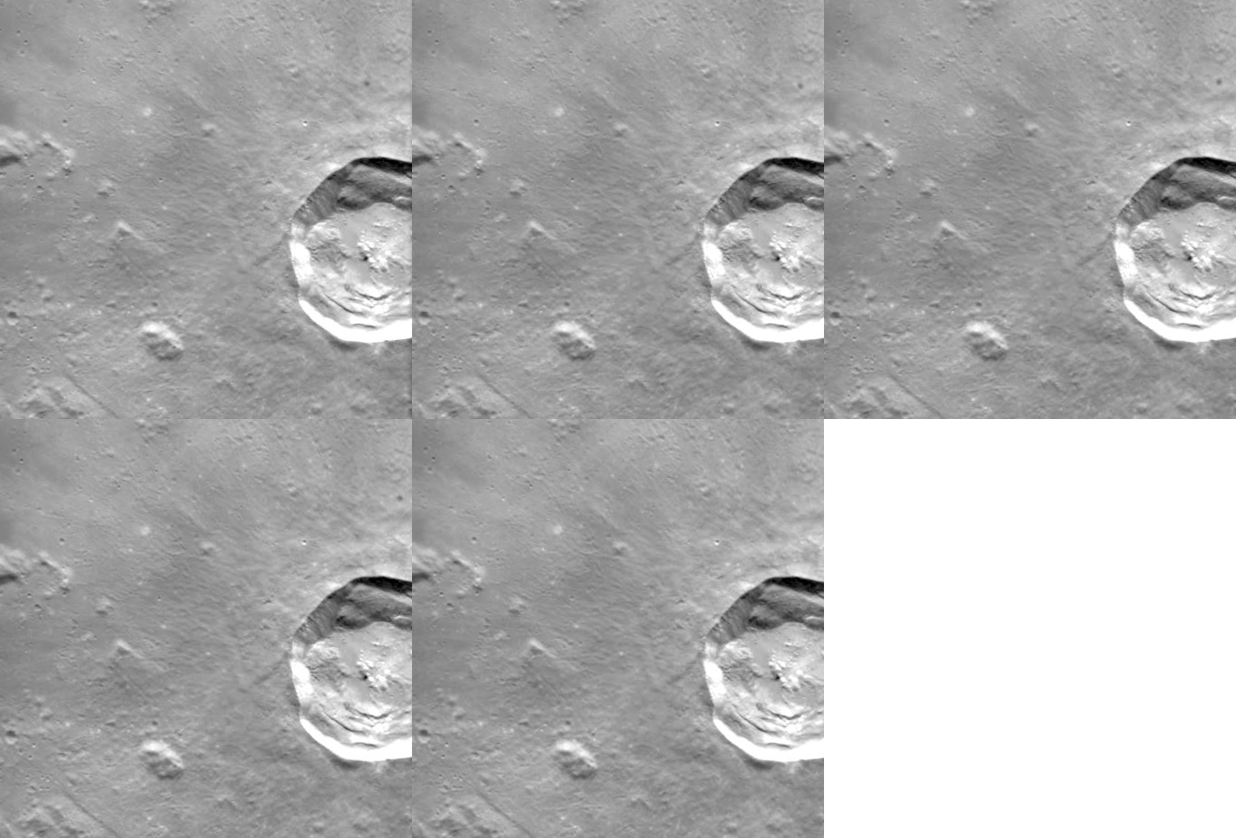
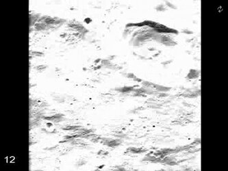
This image, taken by the Advanced Moon Imaging Experiment (AMIE) on board ESA’s SMART-1 spacecraft, provides an 'oblique' view of the lunar surface towards the limb, around the Mezentsev, Niepce and Merrill craters, on the far side of the Moon.
"This cratered terrain is similar in topography to near-side highlands, while the far-side equator bulge can reach heights of 7 km, and the South Pole Aitken basin has depths down to 8 km," says SMART-1 Project Scientist Bernard Foing.
AMIE obtained this sequence on 16 May 2006. The imaged area is centred at a latitude of 73º North and a longitude of 124º West(or 34º further than the West limb seen from Earth).
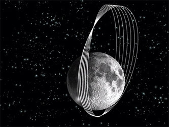
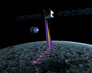
Normally, the SMART-1 spacecraft points the AMIE camera straight down, in the so-called Nadir pointing mode. In this image, AMIE was looking out 'the side window' and pointing towards the horizon, showing all craters in an oblique view. The largest craters shown are Mezentesev, Niepce and Merrill, located on the lunar far side, not visible from the Earth. Mezentsev is an eroded crater 89 kilometres in diameter, while Niepce and Merrill have the same size 57 km.
Mezentsev is named after Yourij Mezentsev, a Soviet engineer (1929 - 1965) who was one of the first people to design rocket launchers. Joseph Niepce was the French inventor of photography (1765 - 1833), while Paul Merrill was an American astronomer (1887 - 1961).
For more information:
Bernard H. Foing
ESA SMART-1 Project Scientist
Email: bernard.foing @ esa.int
Jean-Luc Josset
AMIE Principal Investigator
SPACE-X Space Exploration Institute
Email: jean-luc.josset @ space-x.ch


 Germany
 Austria
 Belgium
 Denmark
 Spain
Spain
 Estonia
 Finland
 France
 Greece
 Hungary
 Ireland
 Italy
Italy
 Luxembourg
 Norway
 The Netherlands
 Poland
 Portugal
 Czechia
 Romania
 United Kingdom
 Slovenia
 Sweden
 Switzerland


