Watch live: Copernicus Sentinel-6 Michael Freilich launch
Watch the launch of the Copernicus Sentinel-6 Michael Freilich ocean-monitoring satellite on ESA Web TV on Saturday 21 November from 17:45 CET (08:45 PST).
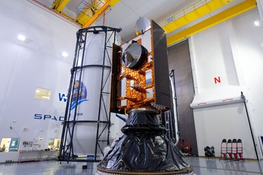
A joint European-US satellite built to monitor sea-level change, the satellite will liftoff atop a Space X Falcon 9 rocket on 21 November at 17:17 GMT (18:17 CET, 09:17 PST) from the Vandenberg Air Force Base in California, US. The weather will be monitored constantly until the precise moment of liftoff to determine whether or not to authorise the launch.
Join as experts from all partners in the mission, as well as data users and beneficiaries, discuss details regarding the mission.
Follow online
Tune in to ESA Web TV or ESA Facebook from 17:45 CET (08:45 PST) onwards to watch the launch live.
Join the conversation online with the hashtags #Sentinel6 and #SpaceCare
For live updates, follow: @esa_eo @esa @esaoperations
Key events after launch (times approximate):
2 minutes and 16 seconds after launch: main engine cut off, second stage separation and then second-engine Start 1 will occur in quick succession. Reusable Falcon 9 first stage then begins its automated boost-back to the launch site for a powered landing.
3 minutes: After protecting the satellite as the rocket travelled through the atmosphere, the launch vehicle's nose cone will separate and jettisoned.
8 minutes: Stage-II engine cut-off.
53 minutes: Stage-II first restart for a 15 second burn, followed by Stage-II engine cut-off.
58 minutes: launch vehicle and satellite separation.
1 hour and 7 minutes: satellite begins solar panel deployment.
1 hour and 33 minutes: planned first contact for satellite telemetry downlink by ground stations in Alaska.

Access the video
Charting sea level
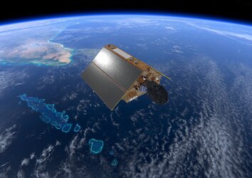
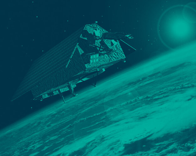
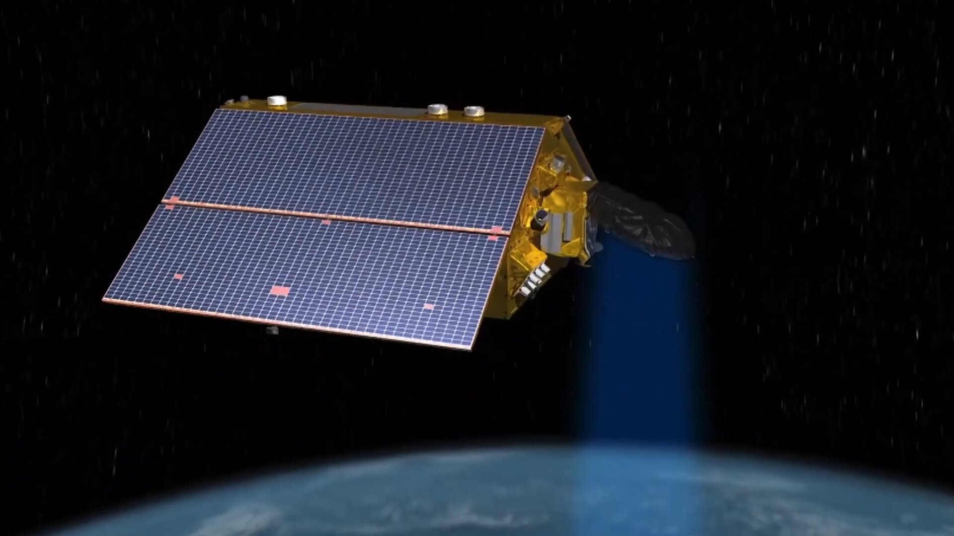
The Copernicus Sentinel-6 Michael Freilich satellite is the first of two identical satellites to provide critical measurements of sea-level change.
Once safely in orbit, the satellite will continue the long-term record of reference sea-surface height measurements and extend the records of sea level into its fourth decade. The satellite will map 95% of Earth’s ice-free ocean every 10 days and provide crucial information for operational oceanography and climate studies.
Since sea-level rise is a key indicator of climate change, accurately monitoring the changing height of the sea surface over decades is essential for climate science, for policy-making and for protecting those in low-lying regions at risk.
The satellite was renamed in honour of Michael H. Freilich, the former director of NASA’s Earth Science Division. The mission is a collaboration between ESA, the European Commission, EUMETSAT, NASA and NOAA, with support from the French space agency CNES.
Read more about the Copernicus Sentinel-6 mission.