
Space to help assess risk to the environment
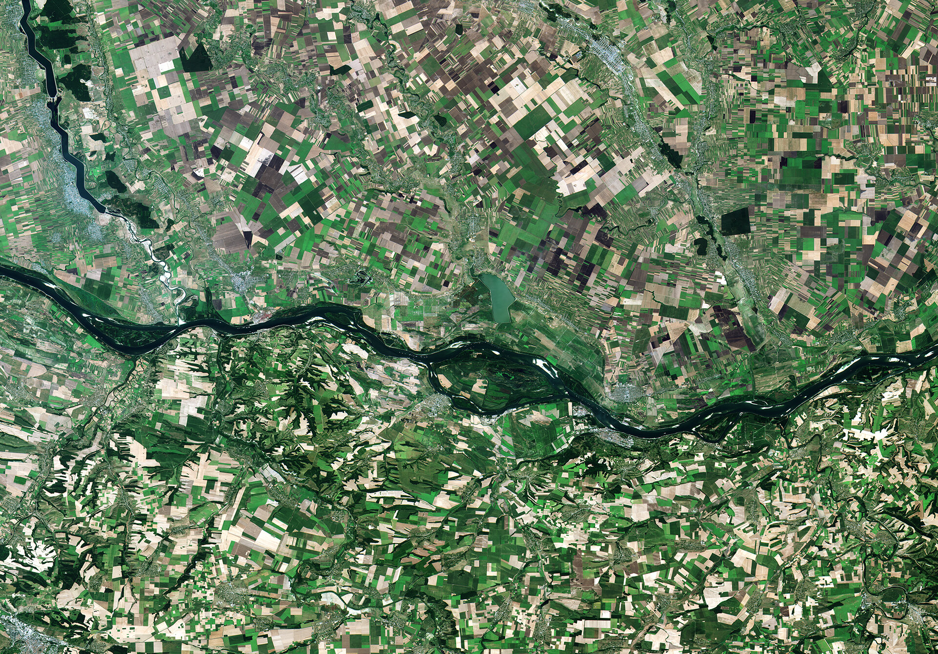
An online tool is being developed that will use satellite data to monitor the environmental impact of human activities in the catchment area of the Danube, Europe’s second longest river.
It will be used by policymakers to spot impending contamination and pollution issues, so they can devise more sustainable practices and help to prevent future human-induced damage to the natural world.
Earth observation data enable people to better understand the continually changing environment, and have an increasing role in helping decision-makers in agriculture, city planning, logistics and many more areas assess the impacts these activities have.
But identifying pollution and contamination trends from Earth observation data can be a complicated process, which requires expert knowledge and analysis of individual datasets.
With ESA’s support, Dublin-based geoscience company Icon Group is developing the Danube Environmental Risk Assessment Platform, a tool which will enable non-specialists to quickly pinpoint exactly how human activities impact the environment.
Policymakers will be able to use it to assess how current strategies are affecting the environment, so plans can be made to better protect natural resources.
The tool will also act as an early warning system, by predicting areas that are likely to have pollution issues in the future.
Icon’s platform will make use of environmental data provided by Copernicus, Europe’s Earth observation programme which is managed by the European Commission and ESA.
Using novel technology being developed by Icon and its partners, this information will be combined with measurements taken from the ground to accurately assess and predict levels of environmental contamination.
The tool will provide insights into waste discharge from industry and transport, contamination from agricultural activities, and habitat destruction, which will be available via a user-friendly application.
Icon is leading the two-year project as part of a consortium which includes Romanian data processing company TerraSigna and Austrian geo-information company Geoville.
Tom McHugh, chief executive of Icon Group, said: “We are excited to work with ESA on this project – and look forward to using our many years of Earth Observation experience to help guard against serious environmental damage. We are hoping that an additional outcome will be an application that can be used in other settings to support dealing with similar environmental issues in Europe and beyond.
“Our excellent and supportive relationship with our partners Terrasigna and GeoVille, combined with the variety of our experiences and backgrounds, will help to make this happen.”
Zoltan Bartalis, ESA technical officer of the project, said: “ESA is working with Icon and its partners as part of our Black Sea and Danube Regional Initiative, where we develop and share applications based on Earth observation data to address issues in the region.
“By working with value-adding Earth observation companies like Icon, and cooperating with regional and national authorities, we enhance and integrate with existing regional strategies to monitor the environment.”
The funding for the Icon project is supplied by the ESA Earth Observation Envelope Programme, under its EO Science for Society Development and Exploitation component.