
Agency
Hi-res wind map of Hurricane Katrina
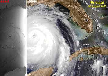
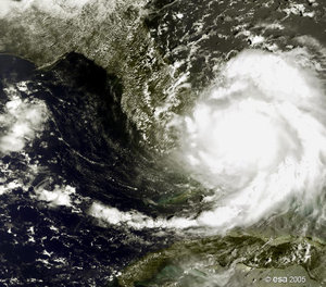
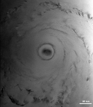
High-resolution wind direction and speed map of Hurricane Katrina approaching New Orleans. The wind map was retrieved from the ENVISAT ASAR image acquired on 28 August 2005 using the WiSAR Tool of the GKSS Research Center.


