
Agency
Satellite view of the Meuse River flood
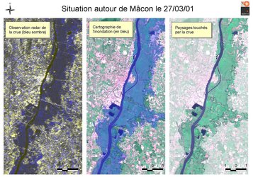
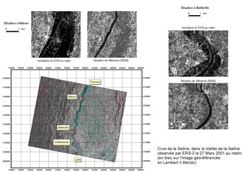
Optical satellite view of the Meuse River flooding the town of Sedan during 4 January 2002. This SPOT image shows urbanised areas in red, and towns under threat named and indicated. A new ESA-backed service provides satellite-derived flood maps for civil protection across France's Eastern defence zone, covering 18 departments. This image was produced by project partner SERTIT.


