
Agency
Gravity gradient simulations
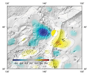
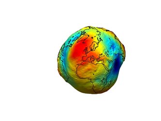
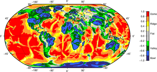
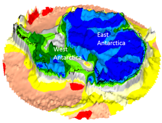
Worldwide gravity gradients from simulations. GOCE is now gathering data such as shown here to map Earth's gravity with unprecedented accuracy and spatial resolution. The final gravity map and model of the geoid will provide users worldwide with well-defined data products that will be instrumental in advancing science and applications in a broad range of disciplines. These will range from geodesy, geophysics and surveying to oceanography and sea-level research.


