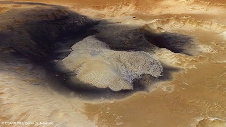

Becquerel Crater topography
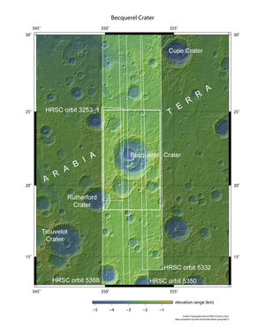
This colour-coded topography map shows the relative heights and depths of features in and around Becquerel crater. White and red are the highest terrains, while blue and purple are the deepest, such as inside large impact craters. A decrease in overall elevation is seen towards the north (right) side of the image; this region occupies the transition zone between the southern highlands and the northern lowlands of Mars.
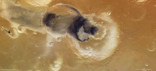
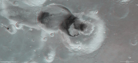
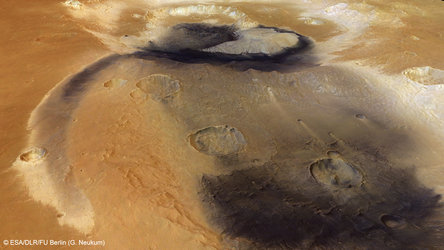
This region of Mars was imaged by the High Resolution Stereo Camera on ESA’s Mars Express, with an average ground resolution of 17 m per pixel. The image centre lies at about 22°N/352°E; North is to the right. The individual images were taken on 22 July 2006 (orbit 3253), and 26 February, 2 and 7 March 2008, corresponding to orbits 5332, 5350, and 5368, respectively.

