About ESA
The European Space Agency (ESA) is Europe’s gateway to space. Its mission is to shape the development of Europe’s space capability and ensure that investment in space continues to deliver benefits to the citizens of Europe and the world.
Highlights


Latest


Space in Member States
Find out more about space activities in our 23 Member States, and understand how ESA works together with their national agencies, institutions and organisations.
 Germany
 Austria
 Belgium
 Denmark
 Spain
Spain
 Estonia
 Finland
 France
 Greece
 Hungary
 Ireland
 Italy
Italy
 Luxembourg
 Norway
 The Netherlands
 Poland
 Portugal
 Czechia
 Romania
 United Kingdom
 Slovenia
 Sweden
 Switzerland
Science & Exploration
Exploring our Solar System and unlocking the secrets of the Universe
Go to topicAstronauts


Latest


Enabling & Support
Making space accessible and developing the technologies for the future
Go to topicLatest


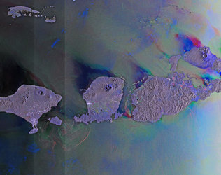
South Kalimantan, Borneo
This image from Japan’s ALOS satellite was captured over part of southern Borneo, an island in Southeast Asia.
Politically, the island is divided between Brunei, Malaysia and Indonesia. The area pictured covers part of South Kalimantan province in Indonesia’s territory, with the city of Amuntai in the upper-central section of the image. The network of white lines show manmade constructions such as houses lined up along rivers and roads. Dark blue shows swamps.
False-colour images in infrared provide detailed information on vegetation, such as plant type and health. This information is particularly useful for agricultural monitoring.
Zooming in, we see that the majority of the land in this image is sectioned off into plots. Notice how most of the image is red, while plots near or in the swamps are yellow and orange. This indicates a different crop, possibly rice. Meanwhile, brighter red indicates thicker vegetation.
Mountainous Borneo is home to one of the world’s most diverse rainforests, and its natural resources have tremendous social and economic value at local, national and global levels.
These resources have diminished in recent years through logging, plantation development, mining and forest fires. But Earth-observing satellites are helping to monitor and evaluate the impact of the island’s development.
This image, acquired on 24 February 2010, is featured on the Earth from Space video programme.