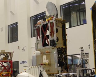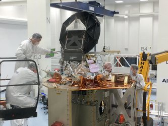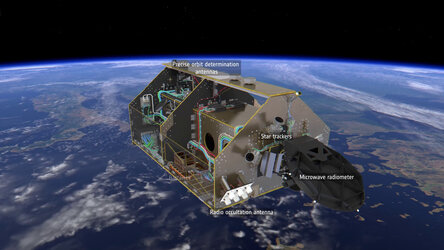
Sentinel-3 microwave radiometer
The Copernicus Sentinel-3 satellites carry a synthetic aperture radar altimeter that is used to measure sea-surface height, ocean-surface waves, the extent and height of sea ice, and the height of large inland rivers and lakes. These measurements are worked out from the time it takes the radiofrequency pulse to travel from the antenna to the surface and back again after reflection from the sea surface. The time delay is then converted to distance, which, in turn, is used to calculate the variations in the height of the sea surface etc. However, the speed of the pulse is slowed down by water in the atmosphere. Therefore, the Sentinel-3 satellites also carry a microwave radiometer to measure atmospheric water. These measurements are used to correct for the delays in the radar altimeter’s signal.


