Land
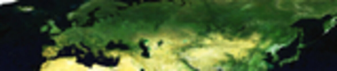
Billions of years of geological movement, atmospheric weathering and sustained biological activity have left the Earth with the most varied terrain in the solar system. Satellite data allow us to classify types of land cover at global level, map forests, deserts, water bodies, agricultural land and urban areas and precisely measure surface topography.
Hi-resolution files available for download.