ERS-2 has ringside view of Hurricane Wilma's violent winds
As Hurricane Wilma barrels towards the Florida coast, a last-minute acquisition by a unique instrument aboard ERS-2 is helping strengthen weather forecasters' final predictions of its landfall course and strength.
The ERS-2 radar scatterometer data shown here was acquired by the satellite on 04:30 UTC this morning (06:30 CEST), then relayed via the ground station of the Center for Southeastern Tropical Advanced Remote Sensing (CSTARS) at the University of Miami to be speedily processed by the Royal Netherlands Meteorological Institute (KNMI), being made available to forecasters to analyse within the hour.
"ERS scatterometer data are very useful to correct position and strength of tropical cyclones in numerical weather analyses and prediction," said Ad Stoffelen of the KNMI. "For its application one must note that each scatterometer wind is measured in a wind cell of about 50 by 50 km.
"For this case the maximum mean wind measured over such extended area is about 100km/hour. Given a tropical cyclone model, meteorologists know that local sustained winds are typically 50% larger, and gusts may reach speeds even three times larger."
Dr Hans Graber of CSTARS added that as Wilma has yet to make landfall, the scatterometer data would be swiftly passed to the US National Hurricane Center "which will aid in their advisories setting marine conditions and predicting the strength of winds at landfall".

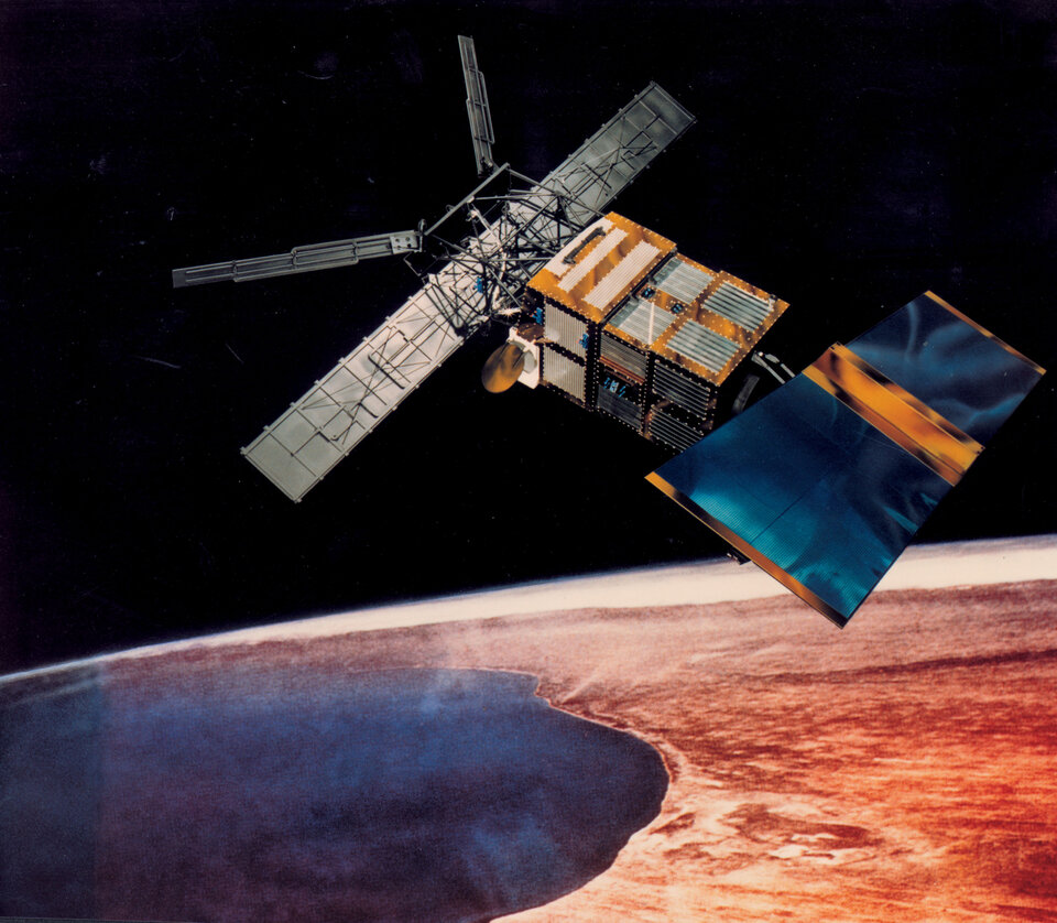
The payload of ERS-2 – ESA's veteran Earth Observation satellite launched back in 1995 - includes the only radar scatterometer currently flying capable of peering through the thick clouds and rain swirling around Wilma to chart the underlying wind fields powering the storm.
This instrument works by firing a trio of high-frequency radar beams down to the ocean, then analysing the pattern of backscatter reflected up again. Wind-driven ripples on the ocean surface modify the radar backscatter, and as the energy in these ripples increases with wind velocity, so backscatter increases as well. Scatterometer results enable measurements of not only wind speed but also direction across the water surface.
What makes ERS-2's scatterometer especially valuable is that its C-band radar frequency is almost unaffected by heavy rain, so it can return useful wind data even from the heart of the fiercest storms – and is the sole scatterometer of this type currently in orbit.

As well as being processed by KMNI, scatterometer data are also routinely assimilated by the European Centre for Medium-Range Weather Forecasting (ECMWF) into their advanced numerical models used for meteorological predictions.
Wilma struck the Mexican coast on Friday, but dampened down from a Category Four storm on the Saffir-Simpson Hurricane Scale down to a Category Two. Back over the open sea, the storm strengthened and sped up to a Category Three.
ESA's scatterometer future

To maintain future continuity of scatterometer coverage, a new more advanced scatterometer instrument called ASCAT is part of the payload for ESA’s MetOp mission, currently due to launch in 2006.


