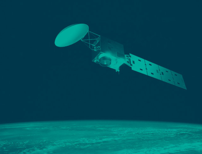
EarthCARE offers a sneak peek into Earth’s energy balance
Offering a foretaste of what’s to come once it is fully commissioned, ESA’s EarthCARE satellite has returned the first images from its broadband radiometer instrument. These initial images offer a tantalising glimpse into the intricacies of our planet’s energy balance – a delicate balance that governs our climate.
Earth’s energy balance accounts the amount of energy it receives from the Sun, solar radiation, and the amount of thermal radiation that Earth emits back out to space.
Influenced by numerous factors, including clouds, aerosols and greenhouse gases, this balance is vital for maintaining Earth’s relatively stable temperatures.
Although it is well-known that human activities are increasing greenhouse gas concentrations in the atmosphere, aerosols also enter the atmosphere from industrial plants, traffic and agricultural practices, as well as from natural sources.
Global temperatures are rising, so understanding and monitoring the radiation balance is crucial for studying and addressing climate-related issues, which is why ESA, together with the Japan Aerospace Exploration Agency, JAXA, built the EarthCARE satellite.

EarthCARE has been designed to measure various aspects of our atmosphere to help us understand how clouds and aerosols reflect incoming solar energy back out to space and how they trap outgoing infrared energy.
This information is crucial to understand climate change and to predict the rate at which clouds and aerosols could lose their current overall cooling effect in the future.
Remarkably, despite only being launched a little over a month ago, EarthCARE has already returned the first data from its cloud profiling radar.
And now, its broadband radiometer is also demonstrating its impressive capabilities.
ESA’s Director of Earth Observation Programmes, Simonetta Cheli, said, “Of course we have never doubted the EarthCARE broadband radiometer’s potential, but here we see, at such an early stage in the mission, that the instrument is working very well and delivering excellent data.
“Each of the satellite’s different instruments has an extremely important role to play – and when all of them are working in harmony and the satellite is commissioned, then the scientific community and weather forecasters will have a powerful tool to advance our understanding of Earth’s energy balance, advance climate science and improve weather predictions.”

Crucial to the mission, the broadband radiometer measures radiative fluxes at the top of Earth's atmosphere.
As the satellite travels along its orbit, the broadband radiometer is unique in the fact that it views the atmosphere from three directions simultaneously.
This information will allow scientists to accurately measure how much incoming energy from the Sun is being reflected back out to space and how much thermal energy is being emitted from Earth’s surface at the same time.
The broadband radiometer’s three different viewing angles – one directly down from the satellite, one in front of the satellite’s path (forward) and one behind the satellite’s path (backward) – are key to capturing systematic three-dimensional views of both reflected and emitted radiation.
Comparing this to the radiation calculated from the combined measurements from the satellite’s other instruments will significantly improve our understanding of aerosol–cloud–radiation interactions.

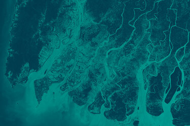
The image above was taken on 18 June, just a few hours after the broadband radiometer started its measurements. It shows brightness in the forward view along EarthCARE’s orbital path across the western Mediterranean, around a 1300 km stretch from northern Spain to Algeria.
The brightness indicates how much solar energy is reflected back to space. For example, white bright clouds reflect a lot of sunlight, shown in red, while the sea reflects little sunlight back to the satellite and appears dark, shown in blue.
While the data show a distinct transition between the coast of Spain and the Mediterranean Sea, there is little difference over the open sea. The switch from darker to brighter colours over the Algerian coast is down to the presence of aerosols and thin cloud.
The image below zooms into the Atlas Mountains where thunder clouds tower 10 km into the atmosphere. The broadband radiometer’s three different viewing angles capture the clouds from slightly different positions.

This can be seen in the apparent positions of the cloud’s shadows relative to the clouds: they seem to be north of the cloud for the forward view, east for the down view, and south for the backward view.
This combination of viewing angles is the instrument’s strength – one view only would not fully reveal the sunlight or the thermal radiation being reflected or emitted by cloud and other features. The view from multiple angles gathers information about the directional distribution of the energy that is seen at the top of the atmosphere.
Having this three-dimensional view globally, along with data from EarthCARE’s three other instruments – the cloud profiling radar, the atmospheric lidar and the multispectral imager – is key to advancing climate science.