GOCE fully operational again
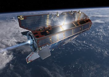
Following recovery from a glitch that prevented ESA’s GOCE gravity mission from sending any scientific data to the ground, the satellite has been gently brought back down to its operational altitude and resumed normal service – delivering the most detailed gravity data to date.
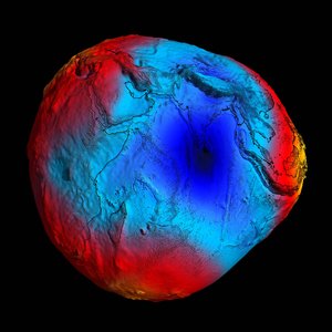
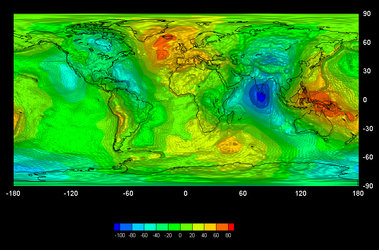
Data from GOCE will result in a unique model of the ‘geoid’, which is the surface of an ideal global ocean at rest. It is a crucial reference for accurately measuring ocean circulation, sea-level change and ice dynamics – all affected by climate change.
Volker Liebig, Director of ESA’s Earth Observation Programmes, said, "I am very happy that the scientific measurements now continue and we can profit from the current low solar activity and measure the best-ever geoid."

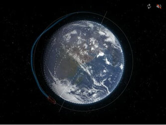
To observe the strongest gravity signal possible, the Gravity field and steady-state Ocean Explorer (GOCE) orbits at an exceptionally low altitude: just 255 km above Earth, skimming the fringes of our atmosphere. However, when the telemetry problem was discovered in July, operators raised GOCE’s orbit to 263 km while experts set about fixing it.
The reason for this was to safeguard the sophisticated xenon ion engines, which gently compensate for atmospheric drag in the satellite’s normal low orbit. The thrusters help to keep the satellite stable in ‘free fall’ to prevent any buffeting from the residual air at this low altitude, which could drown out the gravity data.
The telemetry problem was resolved earlier this month and operators have spent the last three weeks gently bringing GOCE back down to the very precise altitude of 254.9 km – within 10 m!
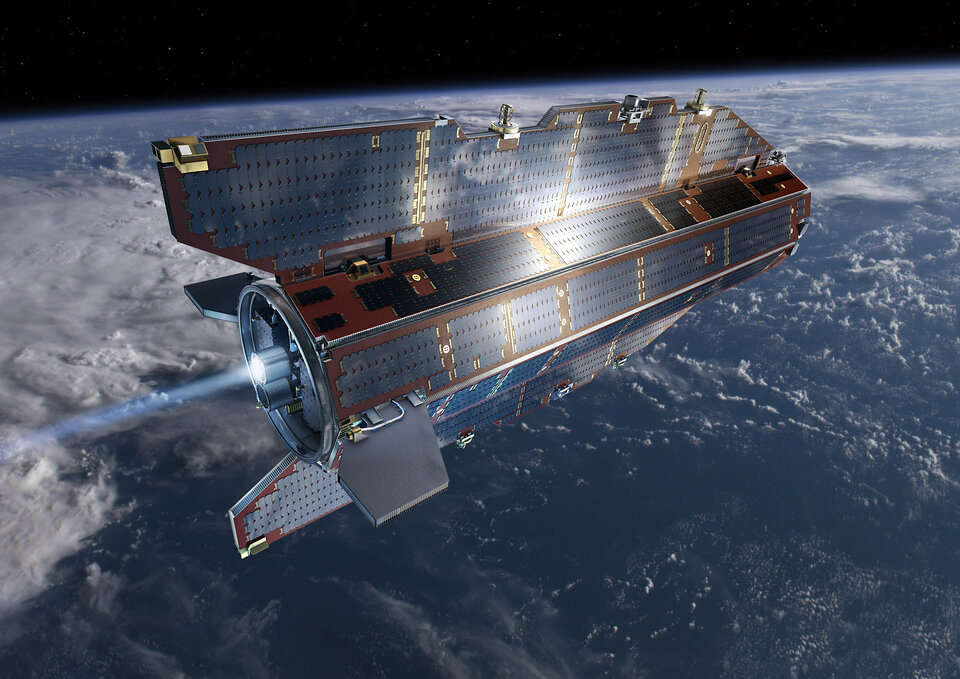
Now back in the correct orbit with all systems fully functional, GOCE is back to its job of mapping Earth’s gravity with unprecedented accuracy and resolution.
ESA’s GOCE Mission Manager, Rune Floberghagen said, "After working hard to resolve the problem we experienced with the telemetry transmission, it certainly feels good to have the satellite back doing its job of measuring of the gravity field."


