
Agency
the first Meteosat satellite
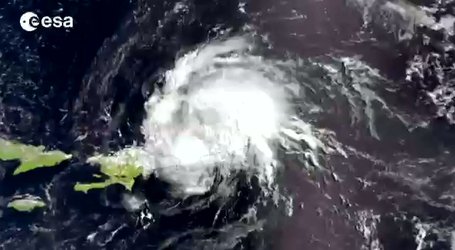
When the European Space Agency launched the first Meteosat satellite in 1977 a new era of weather prediction began. For the first time the distribution of clouds over Europe, Africa and the Atlantic Ocean as moving sequences was visible. Since then, Meteosat-1 and its six successors have delivered over 1.5 million images, contributing to the accuracy of weather forecasts. Meteosat Second Generation (MSG) will deliver images every 15 minutes (currently 30 minutes) and with a resolution of 1 km (currently 3 km), increasing the accuracy of daily weather prediction even further.


