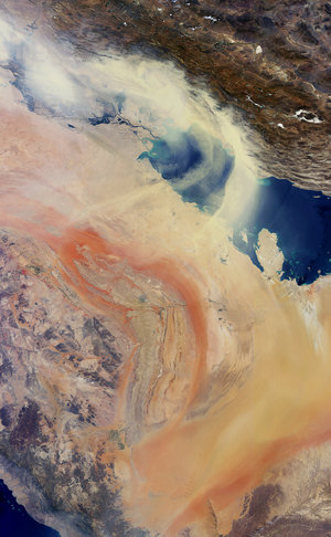

Iraq, Baghdad - MERIS, 27 March 2003
This Medium Resolution Imaging Spectrometer (MERIS) image shows a part of the south of Iraq where the country slopes downwards to form a broad central alluvial plain, which is occupied by the valley of the river Tigris (flowing from the top centre of the image, covered by clouds) and the Euphrates (flowing from the top left corner). West of the Euphrates, the land rises gradually to meet the Syrian Desert. The image was acquired during the Second Persian Gulf War.
The image presented results from a colour composite where the red channel contains the band 15 (900 nm), the green channel contains the band 13 (865 nm) and the blue channel contains the band 9 (708,75 nm). The bands chosen for this image were done so to highlight spectral differences over land. Lake Tharth¬r, Habb¬niyah and Razazah can be seen from top to bottom in the centre of the image. The city of Baghdad is in the east, covered by dense black smoke corresponding to petroleum burning. The Saddam International Airport can be seen in the west of the city.
In the bottom left part of the image is shown a zoom corresponding to the city of Baghdad, generated with the near infrared band (900 nm). Using this wavelength both Tigris and Euphrates courses and burning focus can be identified better.
Technical Information:
Instruments: MEdium Resolution Imaging Spectrometer (MERIS)
Date of Acquisition: 27 March 2003
Orbit number: 05600
Orbit direction: Descending
Instrument features: Full Resolution image (300 - metre resolution)


