
Applications
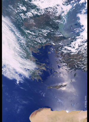
East Mediterranean as seen by Envisat
The Eastern Mediterranean Sea area is highlighted in this Envisat's MERIS image, featuring Turkey, Cyprus and Crete, acquired on 21 July 2004.
This area is vulnerable to earthquakes and Earth Observation satellite images are useful for providing updated views of how the landscape has been affected as well as creating reference cartography for emergency operations.


