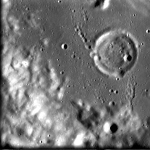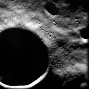

SMART-1 view of the crater Pentland area
This high-resolution image, taken by the advanced Moon Imaging Experiment (AMIE) on board ESA’s SMART-1 spacecraft, shows an area close to crater Pentland on the Moon.
AMIE obtained this sequence on 18 March 2006 from a distance of 573 kilometres from the surface, with a ground resolution of 52 metres per pixel. The imaged area is centred at a latitude of 67.7º South and longitude 18.3º East.
SMART-1 orbits the Moon in a highly elliptical orbit, varying its distance to the lunar surface between roughly 500 km and over 2000 km. This image is one of those taken from really close by. The image scale allows to clearly see craters as small as 200 metres. This image was taken in the vicinity of Pentland, a lunar impact crater, too large to be visible in this image.


