Agency
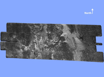
Cassini’s VIMS and radar correlation of surface features
In this composite image, Titan’s surface areas are correlated. The top pair is composed by Cassini’s radar images, while the bottom pair shows Cassini’s VIMS images. Each of the four panels corresponds to an area about 200 kilometres wide.
The left views show the Sinlap crater; the brown features in the bottom panel correspond to the large dune fields visible in the top panel.
The right views show the Guabonito region situated at about 150 kilometres east of the Huygens landing site.