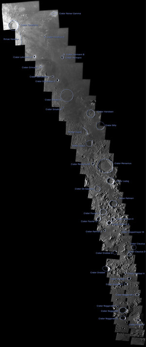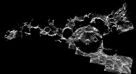

The lunar north pole - SMART-1 mosaic
This mosaic of the lunar north pole was obtained with images taken by the Advanced Moon Imaging Experiment (AMIE) on board ESA's SMART-1. The pictures were taken between May 2005 and February 2006, during different phases of the mission.
The mosaic, composed of about 30 images, covers an area of about 800 by 600 km. The lunar near-side facing Earth is at the bottom of the map, while the far-side is at the top.
When obtaining the images, SMART-1 was flying over the north pole at a distance of about 3000 km, allowing large-field (about 300 km across) and medium-resolution views (300 m/pixel). Each individual image includes areas imaged with colour filters and a more exposed area. The differences have been corrected accordingly to obtain this mosaic.


