
Geoid and ocean currents
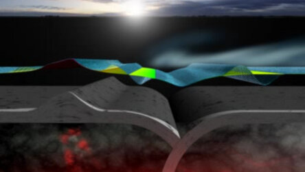
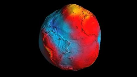
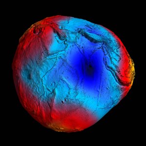
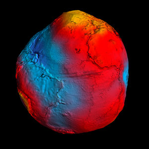
Shaped by such things as the rotation of the Earth, the position of mountains, ocean trenches and variations in the density of the Earth's interior, the irregular gravity field shapes the geoid. The geoid represents the shape of a hypothetical ocean surface at rest in response to variations in the Earth's gravity only. External forces such as the wind cause the actual sea surface to deviate from the geoid. Altimetry systems on ERS-2 and Envisat measure sea-surface height. The large-scale current systems flow along lines of equal topography and are focused around the strongest gradients in these sea-surface deviations. Therefore, it is the combination of sea-surface height mapped by altimeters and the knowledge of the precise ocean geoid that will improve our understanding of surface currents and lead to a better knowledge of general ocean circulation patterns - crucial for understanding climate change.


