
Agency
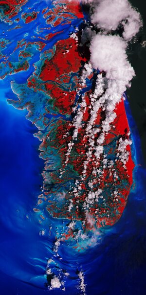
Wind speeds over Great Inagua Island
Around the eye of the storm, the sea surface velocities also capture the circular direction of the prevailing wind and waves, as visible in this wind speed map of Hurricane Ike over Great Inagua Island in the Bahamas on 7 September 2008.


