
Applications
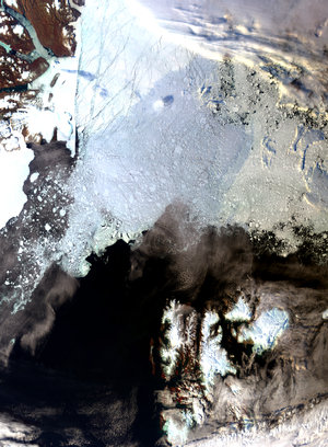
Svalbard Archipelago
This Envisat image, acquired by its Medium Resolution Imaging Spectrometer (MERIS) instrument on 13 April 2010, captures sea ice and clouds in the Svalbard Archipelago, located north of mainland Europe half way between Norway and the North Pole between the Arctic Ocean (top), Barents Sea (bottom right), Greenland Sea (bottom left) and Norwegian Sea.


