
Agency
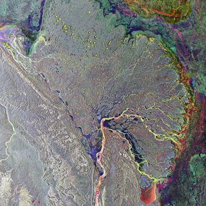
Tundra ice in the Mackenzie River Delta
The different colours in this image of the Mackenzie River Delta in northern
Canada represent the topographic height and tundra ice thickness. The image
was acquired by ERS-2 and Envisat flying in tandem on 10 March 2009.


