
Science & Exploration
Syrtis Major elevation
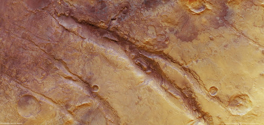
Syrtis Major, discovered in 1659 by Christaan Huygens, is a volcanic province on Mars. The image is centred on approximately 16°N/73°E. The image was created using a Digital Terrain Model (DTM) obtained from the High-Resolution Stereo Camera on ESA’s Mars Express spacecraft. Elevation data from the DTM is colour coded: purple indicates the lowest-lying regions and grey the highest. The scale is in metres. The data for these images were collected on 8 June 2011 during orbit 9487. The images have a ground resolution of approximately 19 m per pixel.


