Agency
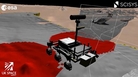
UAV imagery of Atacama Desert for SAFER rover trial
Part of a digital elevation map, acquired in the field by an Unmanned Aerial Vehicle, of the SAFER rover surroundings to simulate orbital imagery of the Mars terrain. This map was sent to the Remote Control Centre in Harwell, UK, to help select a final test site.