
Applications
Pinpointing hyrodcarbon maturity
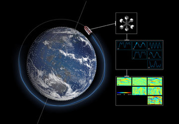
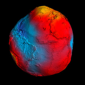
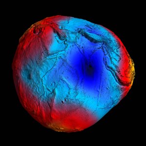
3D models of Earth’s subsurface are traditionally based on information acquired on the ground. Gravity data from the GOCE satellite, however, provide homogeneous coverage in high resolution, which is being used to improve and validate models based on traditional datasets.


