
Applications
Ice height
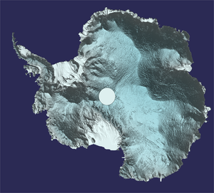
Using around 250 million measurements taken by ESA’s CryoSat mission between 2010 and 2016, scientists at the UK Centre for Polar Observation and Modelling have created the most comprehensive picture to date of the height of the Antarctic ice sheet. With a resolution of 2 km, it provides an elevation measurement for 91% of the total ice on land and 97% of Antarctica’s floating ice shelves.
Read full story: CryoSat reveals Antarctica in 3D


