
Applications
Surface currents
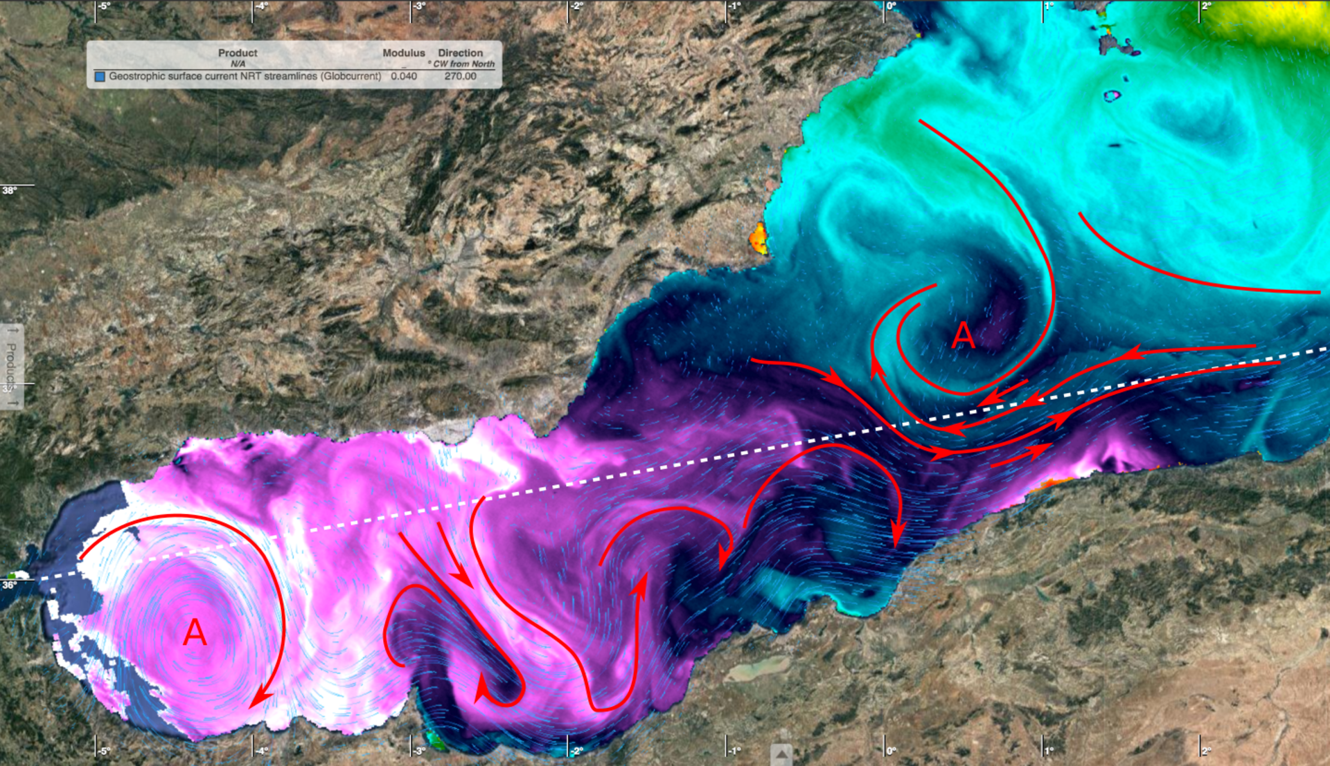
The western Mediterranean Sea has a variety of features that can be used to optimise ship routing. Part of the challenge is to extract high-level features of interest such as water-type boundary fronts and significant currents of interest for a particular ship voyage. This image shows sea-surface temperature overlaid with Globcurrent streamlines. The white broken line shows the planned passage of a ship that takes advantage of ocean-surface currents.


