
Applications
Mexico and Central America
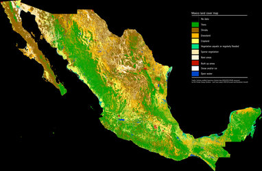
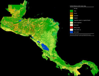
This image of Mexico and Central America shows the cloud-free composite for 2017. This unique dataset was produced under ESA's Climate Change Initiative (CCI) Land Cover Project using Copernicus Sentinel-2 data. The CCI Land Cover team demonstrated the performance of the Copernicus Sentinel-2 mission by delivering a 10 m resolution land-cover map of Mexico and Central America.The product was presented to the Director of Mexican Space Agency during the CCI Land Cover progress meeting hosted by CentroGEO in Mexico City on 31 July 2018.


