Applications
From satellite images to global agricultural trade
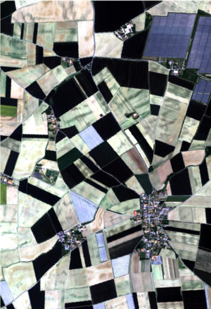
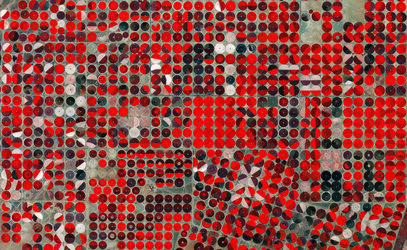
Satellite images can be used to detect deforestation for agricultural production. Using machine-learning algorithms, timely crop-type maps can be produced to map land-use change. This can be then traced along global supply chains to the final consumers through international biomass trade models.
Read more: Tracing the environmental impacts of supply chains