
Applications
Extreme temperatures in Eureka
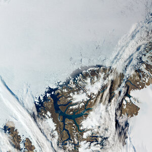
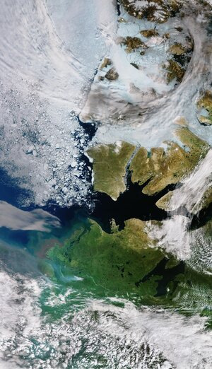
This map shows the temperature of Eureka in the Canadian territory of Nunavut on 11 August 2020. This map has been generated using data from Copernicus Sentinel-3’s Sea and Land Surface Temperature Radiometer (SLSTR). While weather forecasts use air temperatures, the Sentinel-3 SLSTR instrument measures the amount of energy radiating from Earth’s surface.
Read more: Monitoring the Arctic heatwave


