
Research ship seen by Sentinel-1
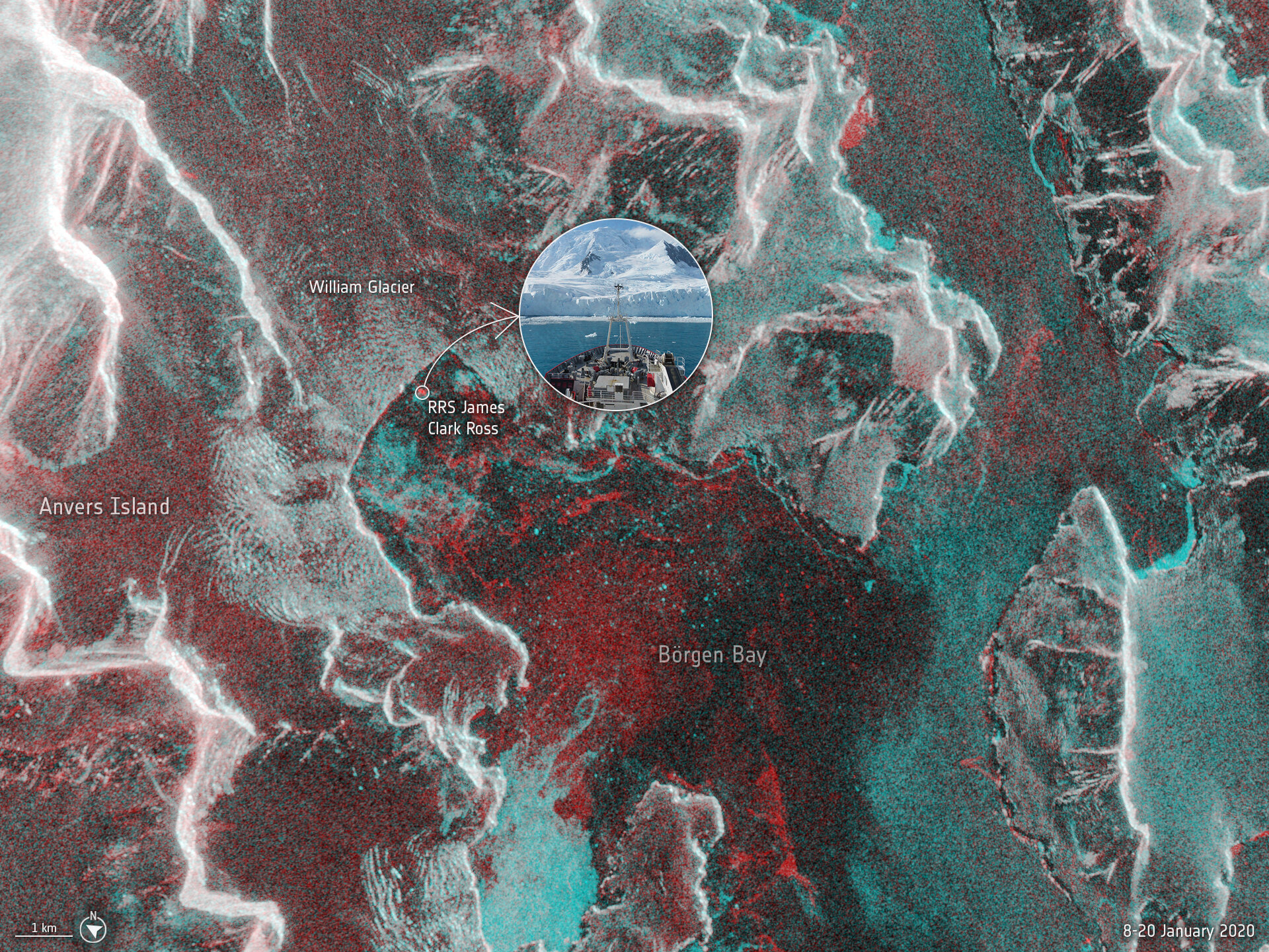
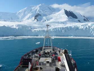
A team aboard the British Antarctic Survey’s RRS James Clark Ross research ship was taking ocean measurements off the Antarctic Peninsula in January 2020 when the front of the William Glacier disintegrated into a thousand small pieces before their very eyes. Remarkably, one of Europe’s Copernicus Sentinel-1 satellites passed overhead while the ship was close to the Peninsula and captured a radar image.
The image combines two Sentinel-1 images: one from 8 January 2020 and one from 20 January 2020 when the ship was in the bay, appearing as a red dot. The image captures the William Glacier and Börgen Bay, but more importantly the red colours depict where the sea and ice surfaces changed between the two dates, while white indicates no change. The amount of red clearly indicates the dynamic nature of the region, and the crevices and fractures in at the edge of the glacier front are clear to see.
Read full story: Glacier calving and a whole lot of mixing


