
Applications
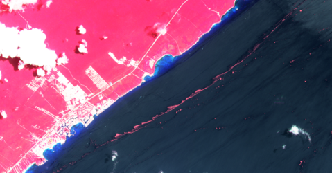
Sargassum extent in the Caribbean Sea
This map shows an overview of the floating Sargassum as of 5 April and shows the daily mean Sargassum concentration over the last seven days (starting from 5 April 2023). Please note that the map indicates the location of the Sargassum, while its size has been exaggerated for clarity. The geostrophic surface currents dictate how the Sargassum travels towards Florida and beyond.
The Sargassum product comes from Coastal Marine Information and Analysis System (SIMAR) which uses data from the Moderate Resolution Imaging Spectroradiometer (MODIS).
Read full story: Smelly seaweed bloom heads to Florida


