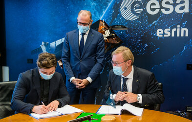
Rafal Modrzewski of Finnish micro-satellite manufacturer ICEYE and Josef Aschbacher, Director General of ESA
Rafal Modrzewski, CEO and Co-Founder of Finnish micro-satellite manufacturer ICEYE, signs a partnership agreement with Josef Aschbacher, Director General of ESA.
Governments and international disaster response teams have long relied on satellites to assess the impacts of disasters such as earthquakes and hurricanes. Now ESA has partnered with ICEYE, a Finnish microsatellite manufacturer, to improve early warning systems for floods and wildfires and extend their geographical coverage globally.
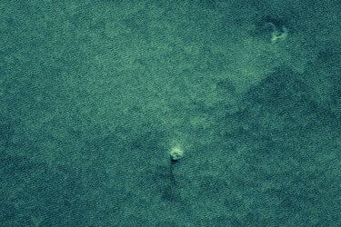
Using synthetic aperture radar technology enables ICEYE’s satellites to see through the smoke while the fires are still burning, so emergency teams can pinpoint individual homes and people at risk – as well as precious natural habitats. First responders can use the information to follow the unfolding dangers and assess the impact.
The same technology also enables emergency teams to see through storm clouds to assess the extent of flooding, its depth and probable duration, creating actionable intelligence on natural disasters by providing data in near-real time. Space data can also help to predict floods, avert disasters and speed recovery.