

Applications
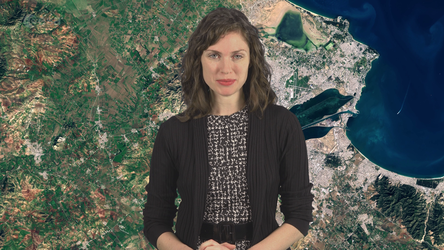
Soil sealing layer applied over Tunis
This image shows the soil sealing assessment overlaid onto a Copernicus Sentinel-2 image of Tunis, Tunisia.
The Ulysses project utilises Copernicus Sentinel-2 data to generate detailed maps depicting the extent and severity of soil sealing across the entire coastline of the Mediterranean Sea – enabling researchers to meticulously track changes in soil composition and permeability over time.
Read full story: From space to soil


