Earth from Space: ‘Angry husband’ eruption
This Copernicus Sentinel-2 image from 13 November 2024 shows the Lewotobi Laki Laki volcano eruption on the island of Flores in southern Indonesia.
Zoom in to explore this image at its full 10 m resolution or click on the circles to learn more.
Mount Lewotobi Laki Laki started spewing ash and smoke on 4 November 2024. It has, so far, killed at least ten people and forced authorities to issue large-scale evacuations. The volcanic ash cloud also caused hundreds of flights to be cancelled. The image clearly depicts the huge plume of ash and smoke spewing from the volcano and drifting westwards.
Laki Laki is one of two adjacent stratovolcanoes on Mount Lewotobi. The volcano summits, which are less than 2 km apart, are known locally as the husband-and-wife mountains. Laki Laki means man, while its taller and broader spouse to its southeast is called Perempuan, or woman. While Perempuan has been dormant for decades, Laki Laki is one of the most active volcanoes in Indonesia.
The country is prone to earthquakes, landslides and volcanic activity because it sits along the 'Ring of Fire', a continuous string of volcanoes and fault lines circling the Pacific Ocean.
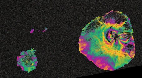
The Copernicus Sentinel-2’s shortwave infrared channels, that detect heat sources, have been used in the processing of this image to display the activity on the volcano. The lava flowing from the crater is highlighted in orange and red.
Satellite data are an excellent means to monitor eruptions. Once an eruption begins, optical and radar instruments can capture the lava flows, mudslides, ground fissures and earthquakes.
Furthermore, atmospheric sensors can identify and measure the gases and aerosols released by the eruption, follow the spread and movement of volcanic plumes, and help to assess the environmental impact and possible hazards to aviation.