Monitoring our changing land
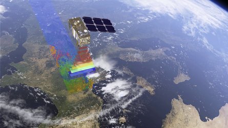
Sentinel-2 carries an innovative high-resolution multispectral imager with 13 spectral bands for a new perspective of our land and vegetation. The combination of high-resolution, novel spectral capabilities, a swath width of 290 km and frequent revisit times provide unprecedented views of Earth. The mission offers information for agricultural practices and to help manage food security. Images can be used to detect crop type, and to determine leaf area index, leaf chlorophyll content and leaf water content to monitor plant growth and health. This is especially important for effective yield prediction and applications related to Earth’s vegetation. As well as monitoring plant growth, Sentinel-2 can be used to map changes in land cover and to monitor the world’s forests. It also provides information on pollution in lakes and coastal waters. Images of floods, volcanic eruptions and landslides will contribute to disaster mapping and help humanitarian relief efforts.


