SMOS measuring storms
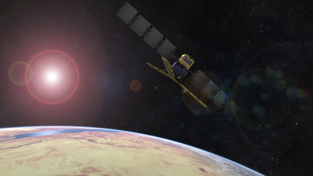
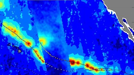
With the frequency and severity of extreme storms expected to increase against the backdrop of climate change, it is more important than ever to forecast and track events accurately. SMOS carries a microwave sensor to capture images of brightness temperature. These images correspond to radiation emitted from Earth’s surface, which are then used to collect information on soil moisture and ocean salinity. Strong winds over oceans whip up waves and whitecaps, which in turn affect the microwave radiation from the surface. This means that although strong storms make it difficult to measure salinity, the changes in radiation can, however, be linked directly to the strength of the wind over the sea. Working together, ESA, OceanDataLab and Ifremer have started a SMOS wind data service, which provides near-realtime ocean-surface wind speeds.The services has been pre-operational since September 2018, providing data to selected users such as the NOAA National Hurricane Center, the U.S. Naval Research Laboratory and the Joint Typhoon Warning Centre who are assessing the potential benefits.


