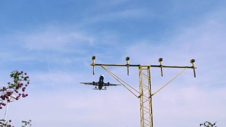
Satellite Navigation Story 2
Second in a four-part series about satellite navigation. This 4 minute A-roll, which is complemented by a longer B-roll, outlines the functioning and the limitations of the US-American GPS system and what the proposed civilian, European system Galileo, would contribute to the safety of transport, notably commercial air traffic and cars. The B-roll includes a wide variety of additional footage on all modes of transport: air, land, sea and maritime. The video includes:
- General introduction with footage from street scenes in different European cities, showing people trying to find their way using conventional paper maps
- On the contrary a tourist or a person is illustrated walking easily through the streets (0:22) using a hand-held GPS receiver
- 0:38 – a person A (not named speaking in German dubbed in English) explains that the GPS is not want is needed in the long run. We would like to have a accuracy of 2 metres and not 20 meters, as now with GPS. Also GPS is not optimised for Europe, laying a long way north, the system is not optimised for these latitudes.
- 1:07 – EC in collaboration with Eurocontrol and ESA have developed a new technology, implemented in the EGNOS system, the “European Geographic Navigation Overlay System”. It is much more precise than GPS, and considerable more reliable. It provides the position with an accuracy of 1-2 metres. This technology has been initially tested in collaboration with Fiat in Italy.
- 1:36 – a person B (not names speaking in English) explains that this is the first test case of EGNOS in a car. It is done with Fiat at their test centre in Turin, Italy.
- 1:55 – EGNOS was originally developed for aviation. It can tell with seconds if the signal received is correct or subject to interference.
- 2:10 – Short description of how EGNOS works, with mixed animated/real video. The GPS signal forms the basis but EGNOS also uses signals form earths stations for comparison. Based upon the signals from the earth stations it is easily to compute the error of the GPS signal.
- 2:28 – System is currently being tested by traffic control across Europe before being official licensed for commercial traffic
- 2:38 – With a future system with an accuracy of 1 metre will help road traffic to avoid obstacles on their way, such as a ditch or other traffic. On the Fiat test course the system tells the driver exactly which lane he is driving. In case of an accident this accuracy will be enough to issue an automatic SOS.
- 3:12 – EGNOS, however, is only an intermediate step. The navigation system for the 21censury is Galileo. It will be more precise and reliable than GPS – and it will be a civil system, not governed by the military interest as GPS.
- 3:27 – The person A (not named speaking in German dubbed in English) is explaining that the installation of Galileo will start in 2004 or 2005, and the completing will be within 2 years. This new system together with GPS will meet all needs of Europe, for safety-critical and for ordinary needs.
- 3:54 – Civil aviation are already getting ready to use such signals. The system will support very precise aircraft landing.


