 |
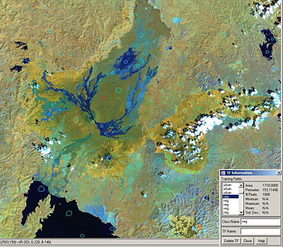
Exercise 2: Lava Detection using Supervised Classification - continued  A GIS file with training fields draped over the Landsat 2001 (FCC 4-5-3). Training fields were drawn for six pre-defined classes in order to provide input to LEOWorks when performing a supervised classification. |