 |
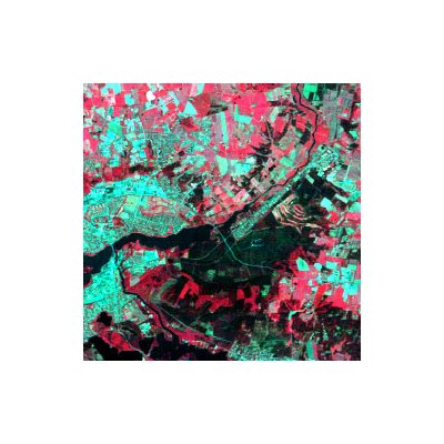
Firmas espectrales  False colour composite image based on Landsat data in the near infrared, red and green channel. Green vegetation is seen as shades of red. Settlement and bare soil areas are seen as bluish.  Graphs of spectral signatures of water, soil and vegetation. Vegetation has a remarkably high reflection in the near infrared channel 4, and a low reflection in the visible red channel 3. This makes it possible to distinguish vegetation areas from bare ground. The difference of reflection in channels 3 and 4 is great for vegetation areas and insignificant for bare ground.  The spectral signatures are processed as digital values in the satellite scanner. Here is a hypothetical example of how the Landsat satellite might record water, green vegetation and bare ground. |