
|
Γενικό πλαίσιο της αποστολής Ανταρκτική 2003  Antarctica 2003. 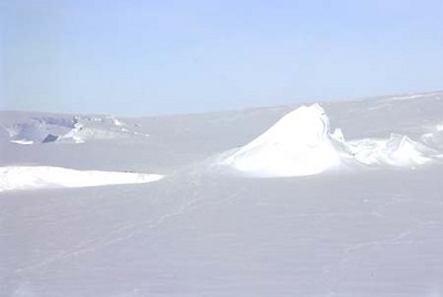 A landscape in Antarctica. 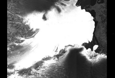 One of the largest glaciers of Antarctica: the Lambert glacier. The image size is 400 km across. 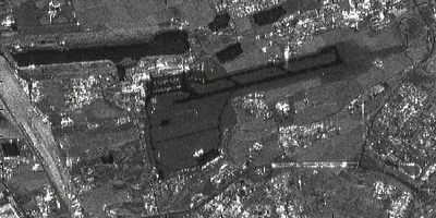 This ERS radar image shows an airport, roads, buildings and grassland. 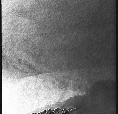 A radar image from a coastal image. When crossing the sea, wind speed changes. This is visible in grey tones: the brighter the pixel the higher the windspeed. 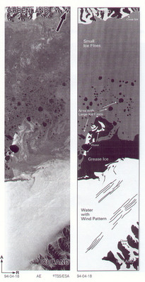 Example of interpretation of different ice types.  |